Drone Roof Inspection in Menifee, CA
Home / Commercial Roofing Services / Drone Roof Inspection in Menifee, CA
A broad aerial image can show a roof plane, a debris line, or a patch location that is difficult to see from the ground. We use drone imagery to mark visible areas for close review and to help a facility director compare roof zones. The camera does not confirm adhesion, moisture beneath the membrane, or the condition of a fastener. Menifee properties still need a property-specific access and operating plan before a flight. We explain where aerial coverage helps, where hands-on inspection is needed, and how the image set supports a roof decision rather than standing in for one.
Choose what the aerial view should answer
Before launch, we define the question: where ponding appears, whether a large field shows visible seam movement, or which areas remain obstructed from normal access. The flight plan follows safe site conditions, applicable airspace rules, and the property’s privacy requirements. We do not treat a camera view as proof of membrane adhesion, moisture below the surface, or the condition of a fastener. A commercial roof inspection connects imagery with roof details that require close observation and confirms which areas were reachable. A flight can also help plan safe access by showing rooftop equipment clusters, obstructed paths, or a broad area that needs a lift. We confirm those observations with the site contact before the crew arrives. The image is useful when it reduces uncertainty about where to look, not when it implies a measurement the camera cannot make. Each flight objective is noted so the owner understands why the capture was requested.
Use images to narrow the next check
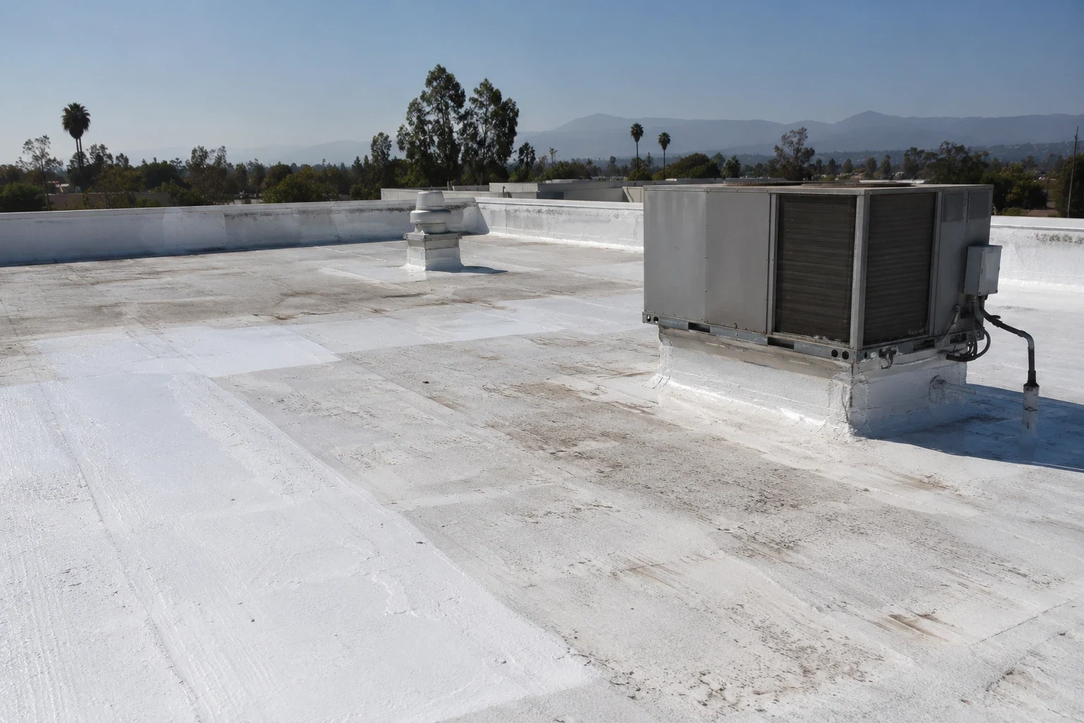
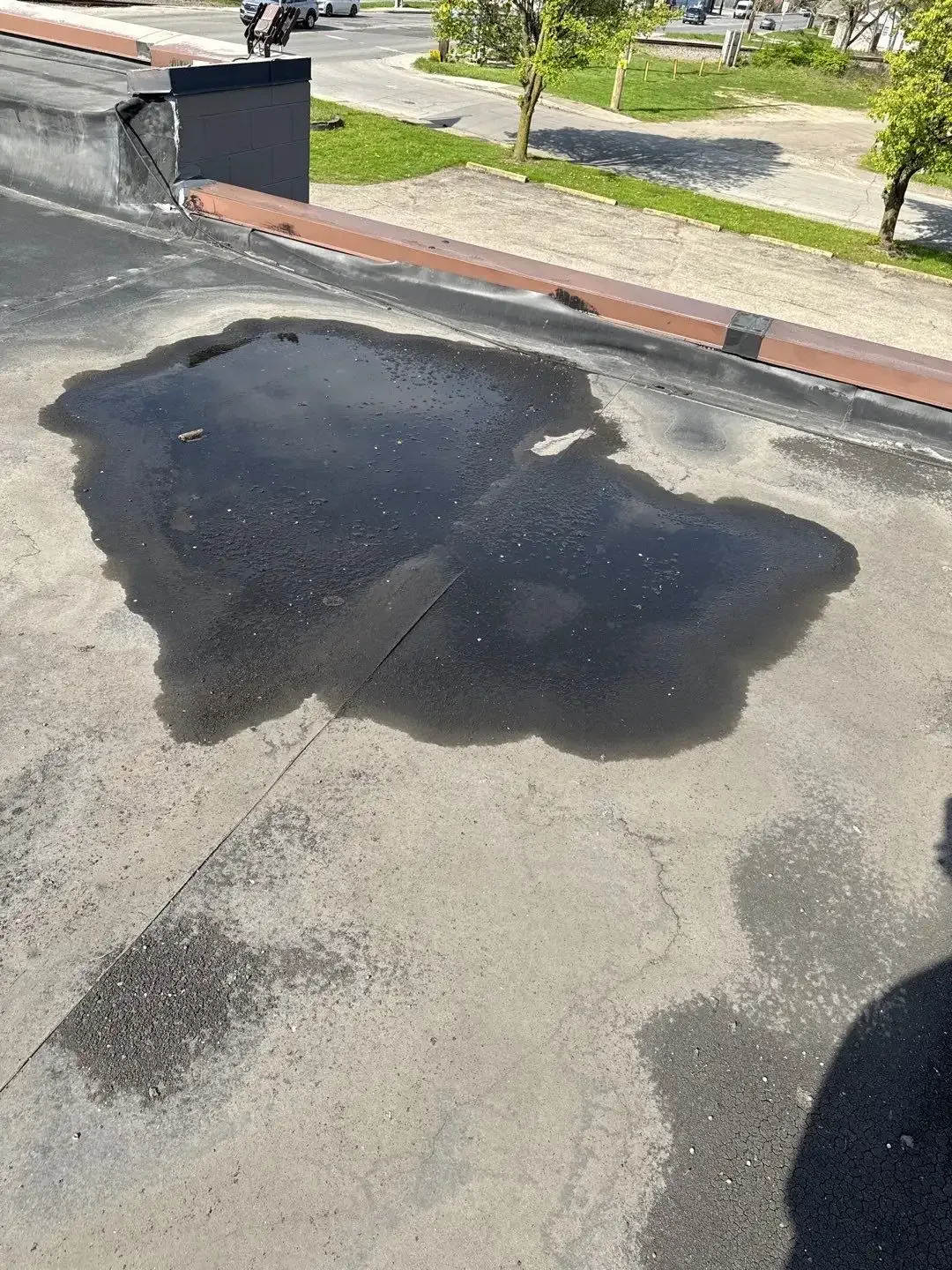
Repeated discoloration, debris lines, standing water, or a visible patch may point to an area worth examining, but each clue needs context. An aerial view can show how a roof plane relates to drains, curbs, parapets, and adjacent slopes. We label the image by zone and then compare the pattern with the leak history or maintenance record. If a detail is too small or shaded to assess, we mark it for direct access rather than enlarge the image into a claim. A roof condition report can place those observations alongside close-up photos and recommended actions. A roof-zone reference matters more than a dramatic image. We mark orientation and the detail that should be revisited, then place the observation next to the inspection note. If a feature is shadowed, reflective, or hidden by equipment, we state that limitation. A maintenance contact can then assign a close inspection without treating a visual difference as damage. The image set should reduce search time and make the follow-up specific.
Keep site access and flight conditions clear
Drone work needs a safe launch and landing area, a clear flight path, and a point of contact who can coordinate rooftop activity. We confirm whether an occupied property has restricted zones, active deliveries, or privacy concerns before arriving. Wind, rain, glare, obstacles, and airspace can limit the usable view. If conditions do not support safe flight, the inspection plan changes to a ground-based or hands-on approach. We record which roof areas were captured and which were not. The facility director can then decide whether the gap affects a repair choice or only the completeness of the visual record. We also confirm that the property contact can authorize the launch area and that workers are clear of the planned flight path. The crew respects posted site restrictions and avoids capturing unrelated neighboring activity. If a required view would cross a controlled area, we use another inspection method or omit that image. The flight record names the reason for any gap so the facility director can decide whether a different access method is warranted.
Tie the flight to Menifee facility needs
Menifee’s economic strategy identifies the Northern Gateway Economic Development Corridor within the city’s planned growth pattern along I-215. That geographic context helps organize a site visit, but it does not tell us which property is active or what roof is present. We confirm the building entrance, work hours, and any airspace or privacy restrictions with the facility contact.
The City describes the Community Core as a planned connectivity project linking districts. A planning document does not confirm a road is complete or change how the roof is accessed today. We verify current conditions before flight and keep municipal planning separate from aerial observations. The imagery is indexed by roof zone so it can support a practical inspection rather than stand alone as a conclusion.
Know what aerial imagery cannot resolve
A drone may record visible surface features, but it cannot confirm a hidden wet layer, deck strength, seam adhesion, or the repairability of an aged patch. Infrared review can provide another kind of observation when surface patterns merit investigation, and a test opening may be needed to confirm the assembly. A moisture survey is useful only when its findings could change the scope. We explain the question first, then decide whether another method is warranted. The report avoids treating a shadow, stain, or color difference as a defect without supporting roof evidence.
Connect images to a practical work plan
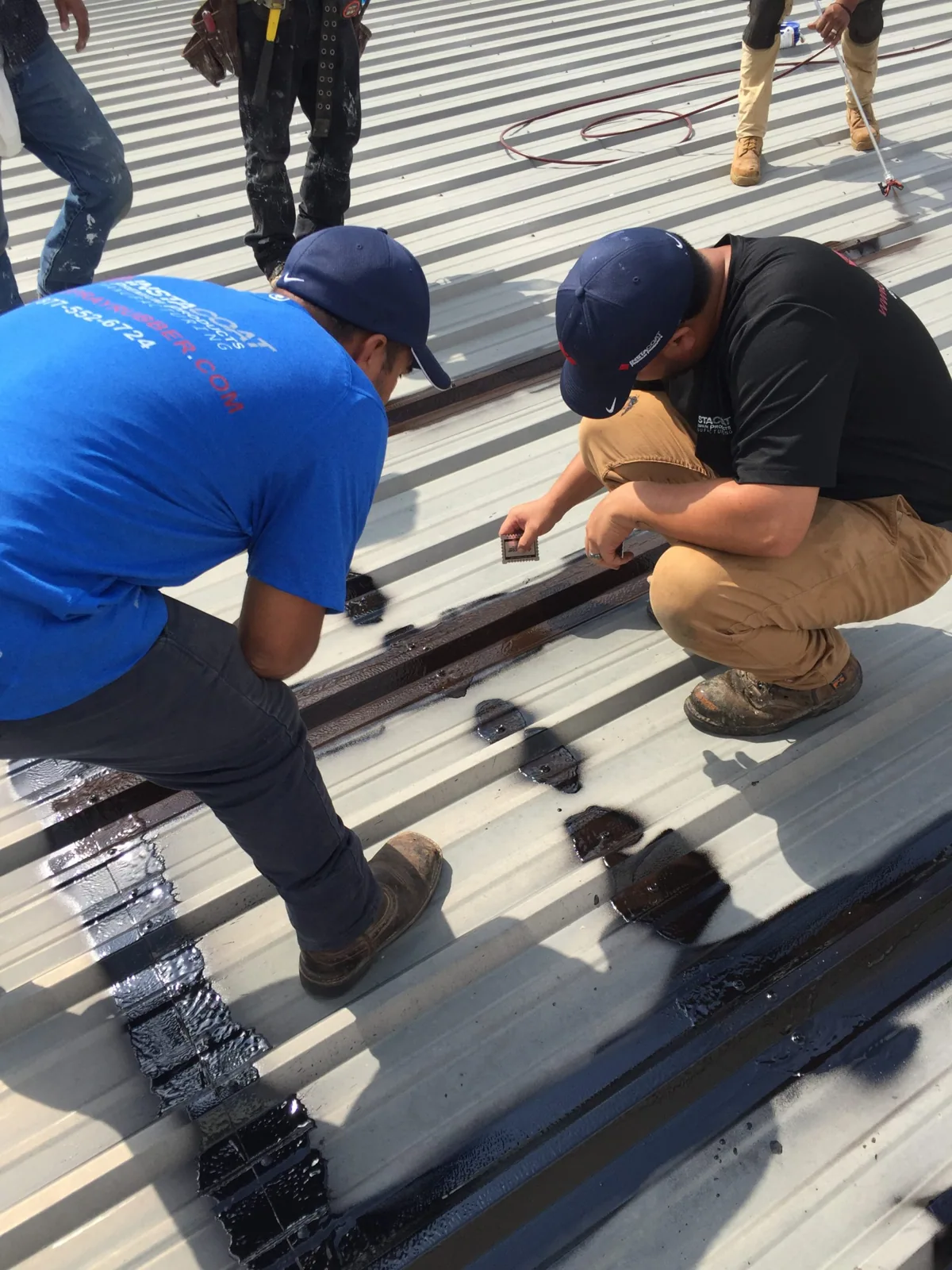
After image review, we can mark roof zones for repair, maintenance, or additional inspection. The next step might be close review of an edge, clearing a drain, or checking a curb detail that appears different from nearby transitions. A maintenance visit can track conditions that do not need immediate work. If an active leak is reported, a roof repair response follows the water route rather than relying on a broad image. Each action is tied to an observed feature and a clear owner decision. For a large roof, image sets can be divided into a simple sequence that mirrors maintenance zones or building wings. We keep the order consistent between overview and detail images. When the owner approves a repair, the marked area can be translated into a roof walk plan, materials list, and access note. If a detail is beyond the drone's resolving ability, it remains a hands-on task rather than an aerial conclusion.
Deliver a view the team can use
The image set should identify capture date, roof zones, visible observations, and access gaps. We can pair aerial views with close-up photos so a facilities peer understands why a detail needs attention. The report separates image-based observations from conclusions that require hands-on inspection. At a facility along Menifee’s Newport Road Economic Development Corridor, we still confirm the building’s roof and operating plan directly. Drone review is one tool in the inspection sequence, not a replacement for field judgment. Arrange a visit, and we will recommend imagery only when it answers a useful roof question. We can return the image set in a format that the facility contact can store with roof plans and work orders. Each selected frame should support one observation, such as standing water near a drain or a visible patch edge. Unused images do not become evidence simply because they were captured. A short index tells the reader which areas need a close look and which views show context only.
Commercial Roofing Questions
Can a drone confirm that insulation is wet?
No. It can record visible surface features, but concealed moisture needs a method suited to the assembly and the question.
What prevents a drone flight?
Weather, wind, airspace, obstacles, privacy limits, and site rules can restrict the flight. We confirm these conditions before scheduling.
Can imagery locate a leak?
It may help show nearby roof features, but water can travel beneath the surface. We compare images with the interior report and inspect likely details.
Will every roof area be photographed?
Only areas that can be captured safely and lawfully. The report identifies zones that were obstructed or outside the flight path.
When is a hands-on inspection still needed?
Seams, flashing, fasteners, penetrations, and material condition often require close observation. Aerial views help target that work.
Related Roofing Work
Plan a roof inspection with clear access
Request a Roof Assessment
Share the property layout and the question you need answered. We will confirm flight conditions, identify roof zones, and explain whether aerial imagery adds useful evidence.
Service area
Menifee, Perris, Murrieta, Temecula, Hemet, Lake Elsinore and nearby Inland Empire communities
Quick contact
[email protected]
555-555-5555